Foreign ministries don't usually panic over a single social media post. But when a former and future American leader drops an artificial intelligence-generated image showing the United States swallowing more than thirty sovereign nations, capitals from Reykjavik to Copenhagen stop laughing.
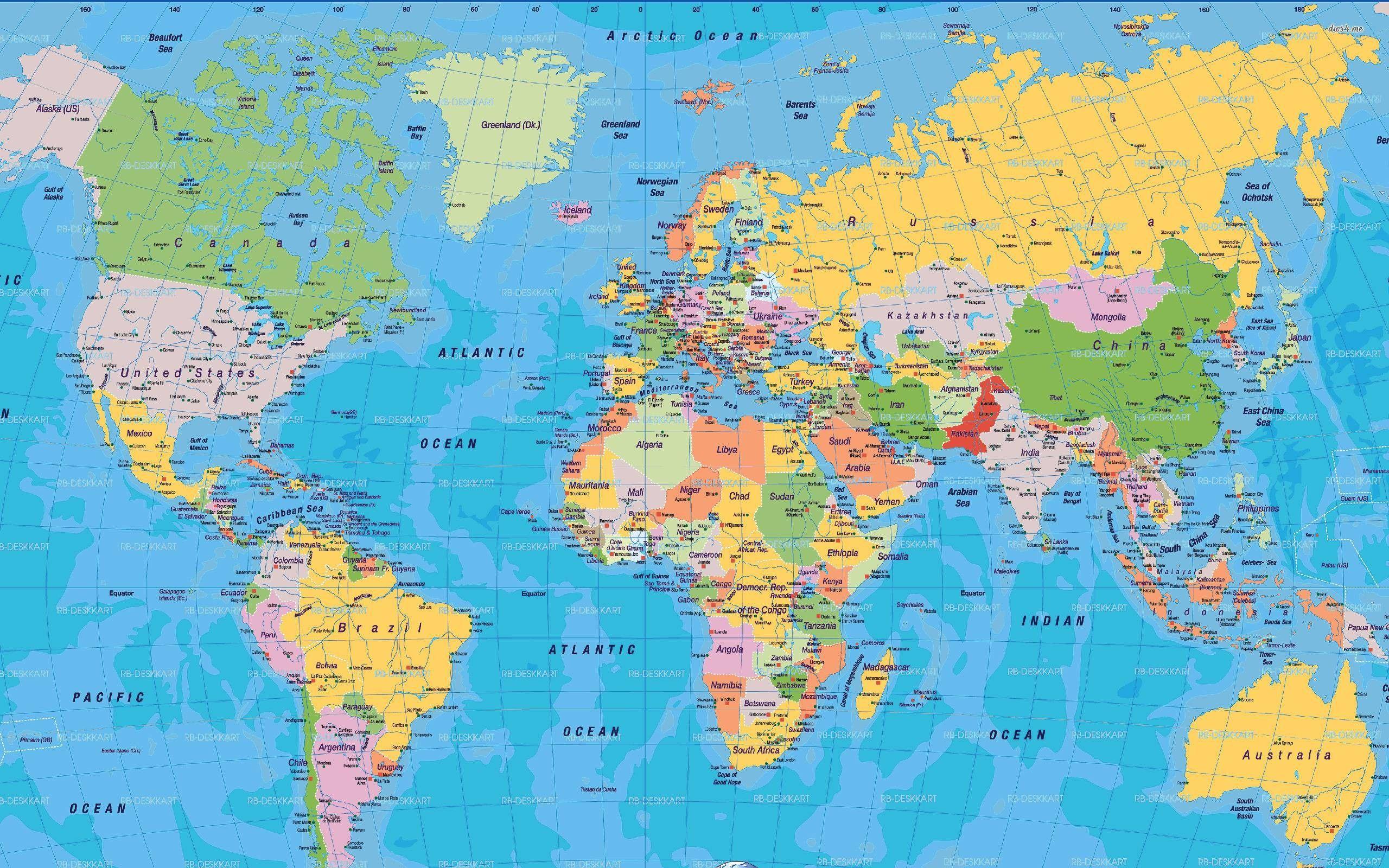
Let's look at what actually happened over the holiday weekend. Donald Trump posted a captionless, star-spangled map on Truth Social that dragged Canada, Greenland, Iceland, Mexico, and roughly thirty Central American and Caribbean territories into an expanded American empire.
Diplomats are sick of guessing if these posts are digital trolling or genuine foreign policy indicators. That uncertainty is precisely why global leaders are reacting so sharply.
When Digital Map-Making Becomes a Diplomatic Crisis
You can't write this off as harmless online behavior when it comes from the Oval Office's shadow. The fallout was immediate.
Icelandic officials didn't wait to see if the post was a joke. Iceland's Foreign Minister, Þorgerður Katrín Gunnarsdóttir, summoned U.S. Ambassador Billy Long straight to her office to hand down a direct message: treating a sovereign island nation as a piece of American real estate is completely unacceptable.
The tension with Iceland isn't random. Trump previously confused Iceland with Greenland on multiple occasions while arguing that the U.S. needs to acquire the massive Danish territory. When a superpower's leader mixes up independent NATO allies with autonomous arctic islands, small nations start looking for exit strategies. Iceland's political landscape has already been violently shaken by these remarks, pushing domestic debates about European security alignments into overdrive.
Meanwhile, Danish leaders felt compelled to restate the obvious. Danish Prime Minister Mette Frederiksen bluntly reminded Washington that Greenland belongs to its own people, who have zero interest in becoming American citizens. Danish Foreign Minister Lars Løkke Rasmussen called the post disturbing, noting that it exposes a maximalist mindset that European allies actively need to counter.
Mexico and Canada Caught in the Crosshairs
It isn't just the Arctic feeling the strain. Mexico's leadership fired back swiftly after seeing their country absorbed into the digital red, white, and blue sprawl. Mexican officials publicly reasserted that their nation is a free, independent state and will never function as a colonial protectorate.
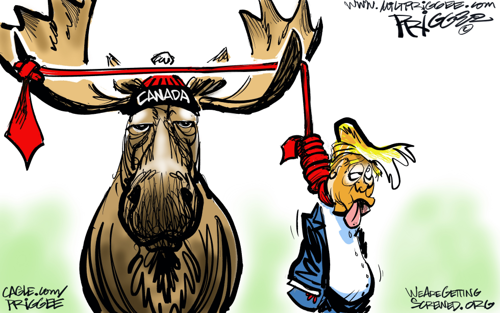
Up north, Canada has grown accustomed to the economic and verbal beatings. Trump's online map dropped alongside other provocative media, including an AI-generated video targeting Canadian leadership, fresh trade skirmishes, and recurring jokes about Canada becoming the fifty-first state.
When you combine aggressive trade policies with erratic digital boundary-redrawing, the boundary line between political theater and actual hostility blurs completely.
Why the Post-Truth Foreign Policy Era Changes Everything
International relations used to rely on predictable diplomatic channels, carefully worded communiques, and bureaucratic restraint. We aren't living in that world anymore.
When a leader bypasses traditional state department warnings and drops viral AI images instead, foreign service officers have to spend millions of dollars and countless hours doing damage control. They have to calculate whether a pixelated map represents an impending trade war, an election strategy, or just late-night phone scrolling.
Ignore the noise if you want. But look closely at how western allies are scrambling to bulletproof their sovereignty. They are building independent defense pacts, boosting local investments, and quietly preparing for a future where American reliability can no longer be taken for granted.
Take a hard look at how modern geopolitics operates now. Pay attention to the digital breadcrumbs, because they usually preview tomorrow's real-world conflicts.