High-resolution space imagery shouldn't be a weapon of war, yet commercial providers keep blurring the line between peaceful mapping and military targeting. Fresh intelligence reports reveal that American military personnel paid the ultimate price because targeting data leaked through private channels.
Three US soldiers died at a remote base in Jordan when precision missiles struck their barracks. US investigators tracing the digital breadcrumbs found that commercial satellite data supplied by Chinese entities helped Iranian operators map out the exact coordinates beforehand.
The Anatomy Of A Precision Strike
Muaffaq Salti Air Base in Jordan felt secure. Concrete bunkers and air defense systems protect the perimeter, but they cannot stop data flows. When Iranian ballistic missiles slammed into sleeping quarters on July 17, they didn't land by random chance. They hit infrastructure with pinpoint accuracy.
US officials claim that imagery captured by commercial Chinese firms ended up in Tehran's hands. Washington had warned Beijing for months about private tech companies supplying targeting data. Beijing denied everything. They demanded proof and insisted their commercial space activities comply with international norms.
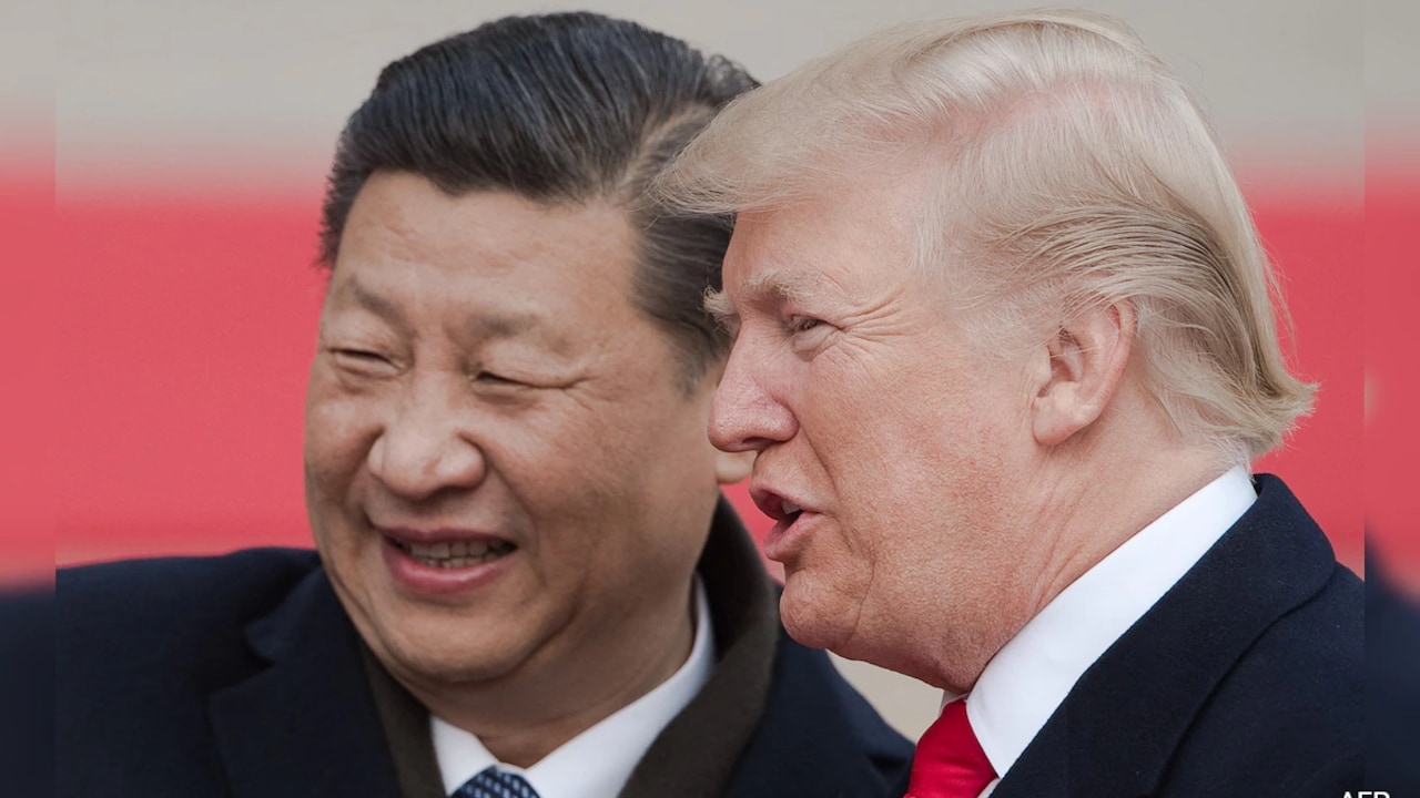
The defense apparatus in Washington finds itself in a tight spot. American leadership wants to preserve diplomatic momentum with Xi Jinping, meaning senior officials often downplay state-backed commercial complicity. But dead soldiers change the calculus.
Who Is Supplying The Eyes In The Sky
Back in May, the Treasury targeted specific commercial satellite operations. Firms like Mizart Vision, Earth Eye, and Chang Guang found themselves under sanctions for giving Tehran the high-resolution views needed to track personnel.
Private remote-sensing companies are turning into active geopolitical players. They sell high-cadence pictures of foreign bases to anyone with a checkbook, or they pass data through opaque intermediary networks.
- Commercial satellites bypass traditional state-to-state military export controls.
- Resolution levels once reserved for superpowers are now commercially available.
- Tracing data handoffs from commercial brokers to proxy militias remains notoriously difficult.
The Broader Intelligence Network
China isn't working alone here. Intelligence analysts point out that Iranian forces combine commercial imagery with local human assets, domestic satellite feeds, and intelligence handoffs from Moscow.
It is a multi-layered espionage puzzle. When an American carrier group moves through regional waters or a transport plane touches down in the Middle East, multiple nations watch the tracks.
Secretary of State Marco Rubio downplayed the immediate strategic shift after meeting with Chinese counterparts, stating that Beijing's actions haven't rewritten the rules of the ongoing conflict. But behind closed doors, defense planners are scrambling to mask their footprint.
You can't hide a massive air base, but you can alter how electromagnetic signatures and asset rotations appear to commercial optics.
What Comes Next For Regional Defense
Washington faces a brutal reality check. Traditional deterrence fails when private companies sell the exact coordinates of your barracks to an adversary.
Expect the US military to accelerate counter-space jamming and spoofing capabilities around sensitive installations. If commercial birds can read license plates from orbit, forces on the ground need active measures to blind those eyes before a missile leaves the launcher.
Protecting troops now requires fighting a shadow war in low-Earth orbit long before the first sirens sound on the ground.